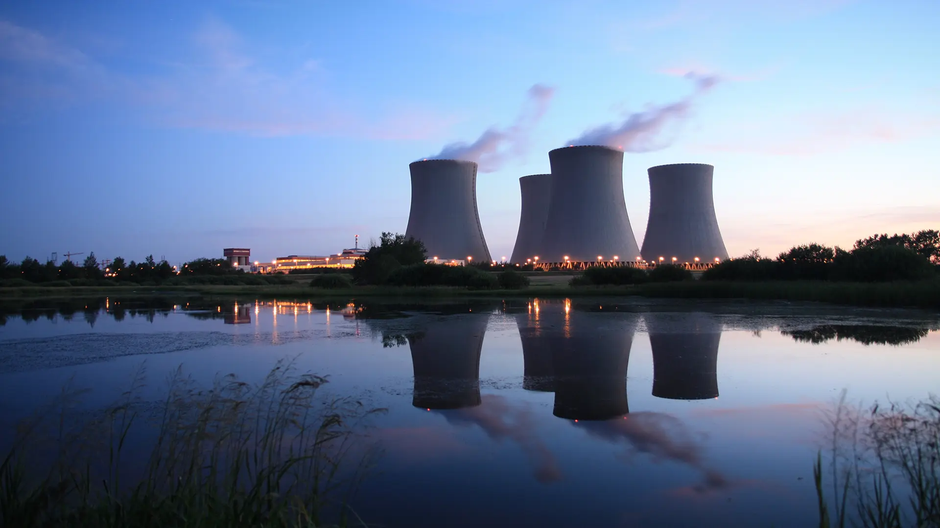
Power
Arctic Air Surges Over Most of U.S. - Winter Storm to Impact Hundreds of Millions
Winter Storm Fern is emerging as the most significant winter storm since 2021, delivering widespread snow, destructive ice and prolonged Arctic cold from the southern Plains to New England.
Released Friday, January 23, 2026
Written by Aaron Studwell, Ph.D., Energy Meteorologist & Analyst for IIR News Intelligence (Sugar Land, Texas)
Summary
Winter Storm Fern is emerging as the most significant winter storm since 2021, delivering widespread snow, destructive ice and prolonged Arctic cold from the southern Plains to New England. The storm's duration amplifies risks to transportation, power infrastructure, and energy supply as demand surges and recovery timelines lengthen.The Approaching Storm
Winter Storm Fern is unfolding as the most significant winter weather event since Winter Storm Uni in January 2021. This is forecast to be a substantial, long-duration winter storm lasting from today through Monday, with heavy snow from the southern Rockies and Plains through the Mid-Atlantic and into the Northeast, and a corridor of potentially catastrophic icing from the southern Plains into the Mid-Atlantic.This is a key theme in Fern: The storm is not only intense, but will also be persistent. This longevity and sustained cold temperatures will affect surface and air transportation, and will likely result in long recovery times for the power grid.
Also, the Arctic blast will likely yield freeze-offs for natural gas assets across the Plains and eastern U.S. Over the past three days, more than 50 pipelines have alerted shippers about the extreme weather forecast and its potential impact in increased demand and supply disruptions (well freeze-offs). These pipelines are located across the country from California and moving east to New Mexico, Texas and South across the border into Mexico. Additionally, in the North, Canadian and Bakken pipelines are preparing for the Arctic blast.
The Arctic air is not just a backdrop; it is the main driver of impacts. As a strong surface ridge slides southward out of central Canada, it is transporting dense, subfreezing air into the Plains and Mississippi Valley and then east toward the Great Lakes and the I-95 corridor.
Energy Impacts
For the energy industry, Fern is a triple threat, with demand spikes, increasing operational risks for power and natural gas, and slowed recovery of assets. Leading with demand issues, broad Arctic air will drive heating loads across multiple grid regions at once. The PJM Interconnection, a regional transmission organization that provides power to customers in all or parts of 13 states and the District of Columbia in the eastern U.S., expects an all-time record winter electricity demand of about 144,450 megawatts (MW) on Monday.On Thursday, U.S. Secretary of Energy Chris Wright asked the nation's grid operators to maintain communication with the Department of Energy (DOE) during the storm and be prepared to make backup generation resources at data centers and other major facilities available as needed. The DOE said it estimates more than 35 gigawatts (GW) of unused backup generation remains available nationwide.
The U.S. Energy Information Administration said natural gas daily spot prices at the benchmark Henry Hub rose sharply over the past week, reaching nearly $8.15 per million British thermal units on Thursday as colder weather increased demand for space heating across the country.
The Electric Reliability Council of Texas (ERCOT) reported that it was prepared to meet demand as the storm arrives, but the same report highlighted the key operational fear: icing and outages are most likely when freezing rain persists and temperatures remain below freezing for many hours. Texas Governor Greg Abbott has issued a disaster declaration covering 134 counties.
Regarding reliability, ice is the most damaging precipitation type for the power grid. Freezing rain adds weight to lines, towers and trees, producing a dramatic failure mode. These events require physical repair, not just switching and rerouting. Even where generation is adequate, damage to transmission and distribution can isolate customers from power.

Weather Outlook
The National Weather Service has issued winter storm warnings from eastern New Mexico to New England, including many major metropolitan areas.Across the southern Plains, Fern's first round had started with rain, sleet, snow falling across New Mexico and west Texas. There was a slight risk of thunderstorms, including thundersnow, from near Odessa, Texas, extending into southern Oklahoma. Snowfall was forecast to start in Oklahoma City, Oklahoma, this evening and continuing into Sunday afternoon. Forecast snowfall continue to trend higher with 8 to 10 inches expected but some guidance showing the potential for totals approaching 15 inches in areas.
Across north Texas, a more damaging sequence is expected. Accumulating ice from freezing rain is forecast ahead of a transition to sleet and potentially, snow. After this afternoon's cold front, temperatures will plummet into the teens with near-zero wind chills. This pattern of long-lived frozen precipitation will impact most of Texas, including Austin, Houston and San Antonio.
As Fern continues its easterly track on Saturday, an ice storm is forecast across the ArkLaTex region, extending east across the mid-Mississippi Valley. This will continue into the Ohio and Tennessee valleys later Saturday. North of the icing band, heavy snowfall is expected to spread as far north as the central Plains and upper Midwest. The concern here is direct: snow can be heavy, but ice is heavier. The precipitation will load trees and power lines, producing sudden breaks rather than gradual degradation.
Through Sunday and into Monday, this pattern will continue to evolve on its easterly track. A consistent theme is that as warming low-level air moves north, the dividing line between snow and "wintry mix" will shift north. So a multitude of metro areas, reaching from Little Rock, Arkansas, to New York City, will have snow transition to sleet and/or freezing rain. This will coat the fallen snow, further jeopardizing transportation, and slowing the restoration of power.
A noteworthy pattern is noted across the Southeast. Denser cold air will be trapped east of the Appalachian. As the central low of Fern moves off the East Coast, the cold air will flow south, dropping temperatures and increasing the risk for freezing rain on Sunday across the Carolinas and north Georgia.
North and east of the ice corridor, Fern's snow shield rapidly expands. Snowfall is expected to exceed 12 inches from Oklahoma to New England. The band of highest snowfall has shifted north. These levels have increased across the mid-Mississippi Valley, the Ohio Valley, across Pennsylvania, and into the Northeast.

Similar transitions from heavy snowfall to the wintry mix are expected for mid-Atlantic, including Washington, D.C. and Philadelphia. While expected snowfall continues its downward trend (6 to 8 inches), the icing levels are increasing. Up to 0.5 inches of ice could accumulate on top of the freshly-fallen snow.
For the Northeast, the coastal phase will become the focus late Sunday into Monday. In the New York City region, forecasters describe a major winter storm impacting the area Sunday through Monday with widespread accumulating snowfall and significant travel disruptions expected. A wintry mix may be possible in coastal areas. Snowfall forecasts are climbing for New England with a wide swath of 10 to 15 inches possible.
Looking ahead to next week, the ridge of Arctic air will persist across the Plains, holding dangerously cold temperatures across the central and eastern U.S. Slow moderation is possible but cold air will linger where snow and ice cover limit daytime warming. While long-range guidance agrees regarding the cold air impacts, some models are showing the potential for another winter storm across the southern Plains and Gulf Coast. This could eventually evolve into a significant Nor'easter.
Key Takeaways
- Fern is a long-duration, high-impact winter storm with both heavy snow and potentially catastrophic icing.
- Persistent Arctic air is the primary driver of impacts, locking in hazardous conditions and delaying recovery.
- Ice poses the greatest threat to power reliability, causing physical damage that requires prolonged repairs.
- Energy demand is expected to spike sharply, including record winter load in PJM and elevated risk in ERCOT.
- The storm's evolving rain-snow-ice boundary places many major metro areas at risk for compounding transportation and power disruptions.
About IIR News Intelligence
IIR News Intelligence is a trusted source of news for the industrial process and energy markets, powered by Industrial Info Resources' Global Market Intelligence (GMI).
About Industrial Info Resources
Industrial Info Resources (IIR) is the leading provider of industrial market intelligence. Since 1983, IIR has provided comprehensive research, news and analysis on the industrial process, manufacturing and energy related industries. IIR's Global Market Intelligence (GMI) helps companies identify and pursue trends across multiple markets with access to real, qualified and validated plant and project opportunities. Across the world, IIR is tracking over 250,000 current and future projects worth $30.2 Trillion (USD).
/news/article.jsp
false
Want More IIR News Intelligence?
Make us a Preferred Source on Google to see more of us when you search.
Add Us On GoogleAsk Us
Have a question for our staff?
Submit a question and one of our experts will be happy to assist you.

Forecasts & Analytical Solutions
Where global project and asset data meets advanced analytics for smarter market sizing and forecasting.
Explore Our SolutionsRelated Articles

Industrial Project Opportunity Database and Project Leads
Get access to verified capital and maintenance project leads to power your growth.
Discover Our DatabaseIndustry Intel
-
The Role of Contract Manufacturing in Global Pharma GrowthPodcast Episode / May 8, 2026
-
2026 North American Labor OutlookPodcast Episode / Apr 24, 2026
-
2026 European Metals & Minerals Project Spending OutlookPodcast Episode / Apr 7, 2026
-
The Age of Critical Minerals in the AmericasPodcast Episode / Mar 20, 2026
-
2026 Regional Chemical Processing OutlookPodcast Episode / Mar 6, 2026